Son Depremler
Recent earthquakes in Turkey from AFAD and Kandilli: list, map and statistics.
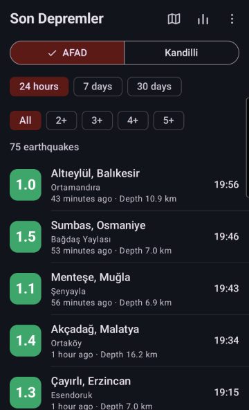
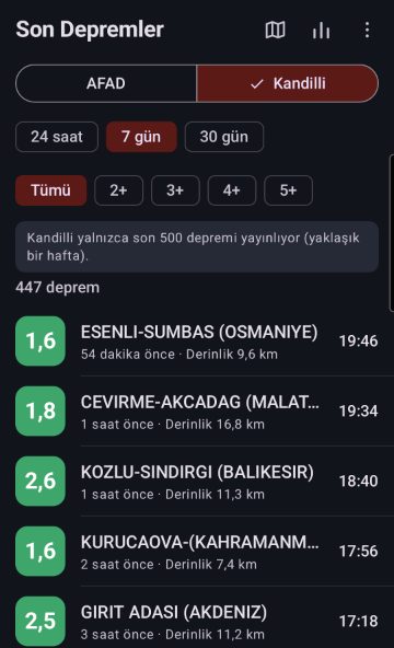
See the earthquakes of the last 24 hours, 7 days or 30 days in and around Turkey on one screen. Son Depremler ("Recent Earthquakes") takes its data directly from the public services of AFAD (Turkey's Disaster and Emergency Management Authority) and Kandilli Observatory. Switch the source with one tap and compare both institutes' measurements.



Screenshots
Features
AFAD and Kandilli: two sources, one tap to switch
Province, district and neighbourhood (AFAD)
Time filter: 24 hours, 7 days, 30 days
Magnitude filter: all, 2+, 3+, 4+, 5+
Colour-coded by magnitude: small ones green, 3+ yellow, 4+ orange, 5+ red
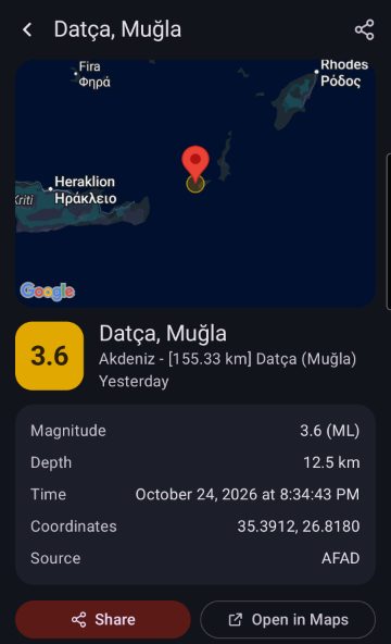
Earthquake details: map, magnitude, depth, time, coordinates
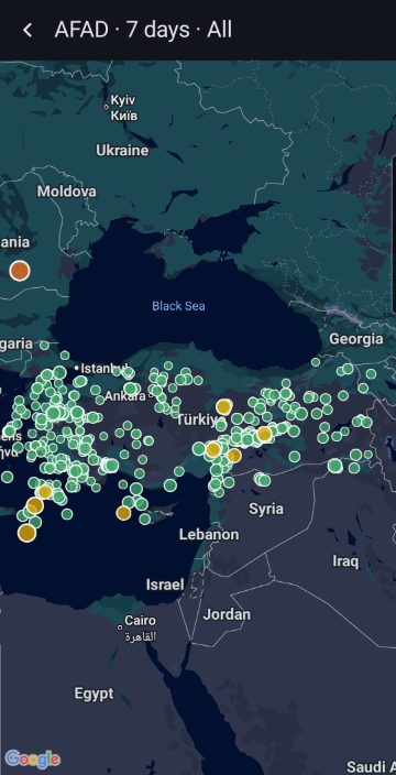
Overview map: every earthquake as a dot sized by magnitude
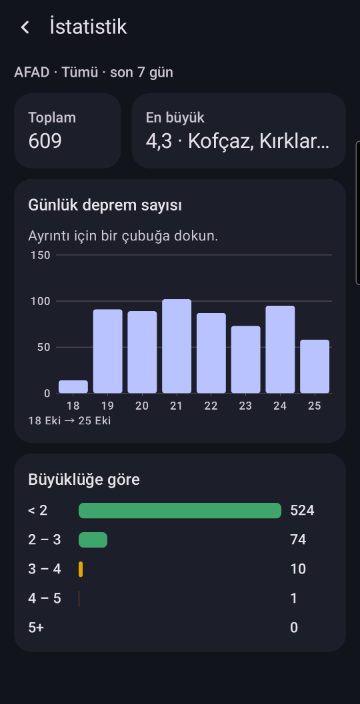
Statistics: earthquakes per hour/day and by magnitude
Share and Open in Maps
Light and dark theme, Turkish and English
Version 3.0 is rebuilt from scratch: it uses AFAD's new data service and always reads the latest Kandilli list. The app needs no location permission and no account. IMPORTANT: Son Depremler is not an early warning system. Data reach the institutes minutes after an earthquake and may be revised. Follow AFAD for official information and alerts. Data: AFAD (deprem.afad.gov.tr) and Boğaziçi University Kandilli Observatory and Earthquake Research Institute (koeri.boun.edu.tr). The app is not affiliated with these institutions.
 Cardles
 Cubbles
 Sliplines
 2048
 Tic-Tac-Toe
 Astrolings
 Tombalings
 Pentolings
 Nudgelings
 Grumblings
 Tilelings
 Nuzzlings
 Logiclings
 Beamies
 Hafta Sonum
 Çalışan Asistanı
 Uzay Günlüğü
 Şans Oyunları
 Where Am I?
 Age Calculator
 BMI Calculator
 National Anthem of Turkey
 National Anthem of Canada
 TurkSail
 MedyaFobi